Satellite Town Ring Road (STRR): How It Will Transform Hoskote
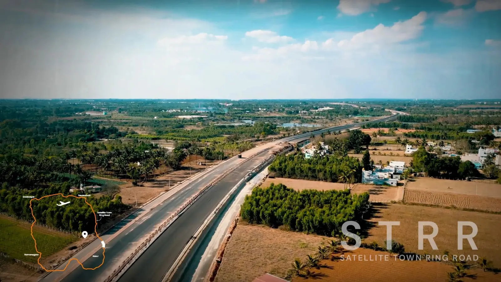
STRR impact on Hoskote real estate: Satellite Town Ring Road connectivity, STRR property appreciation, ring road benefit Hoskote explained.
The STRR impact on Hoskote real estate is one of the most material infrastructure narratives shaping the corridor's medium-term trajectory. The Satellite Town Ring Road is a ring-road grade alignment under active development around Bangalore's peripheral satellite towns. Hoskote sits directly on this alignment, putting the locality at the intersection of multiple corridor expansions. This blog walks through what the STRR is, what it will deliver for Hoskote, and how it shapes the long-term value case. For broader location context, see the Location page.
What the STRR Actually Is
The Satellite Town Ring Road is a planned highway-grade ring alignment connecting Bangalore's peripheral satellite towns: Doddaballapur, Devanahalli, Hoskote, Sarjapur, Anekal, Magadi, and back around through the western and northern peripheries. The total alignment spans approximately 280 to 300 km, designed as a controlled-access highway that bypasses central Bangalore congestion.
Construction is being executed in phases by NHAI. Some segments are operational, others are in active construction, and the remaining stretches are under planning and land acquisition. The Hoskote segment is one of the priority phases given the corridor's existing development density. The STRR is conceptually different from the existing Outer Ring Road (ORR). ORR runs through Bangalore's urban core, handling intra-city ring movement. STRR runs through the peripheral satellite towns, handling outer ring movement that bypasses ORR congestion entirely.
Satellite Town Ring Road Connectivity for Hoskote
The Satellite Town Ring Road connectivity will deliver four specific benefits for Hoskote residents and investors. Direct North Bangalore access — STRR northbound from Hoskote will connect to Devanahalli, the airport corridor, and Doddaballapur without funnelling through ORR or central Bangalore. Estimated drive time Hoskote to airport via STRR: 35 to 45 minutes (vs current 55 to 60 minutes via NH-75 + ORR).
South Bangalore access — STRR southbound from Hoskote will connect through Sarjapur and Anekal toward South Bangalore. Currently, Hoskote-to-South Bangalore commutes route via central Bangalore or via lengthy ORR detours. Inter-corridor movement — STRR enables Hoskote residents to access multiple Bangalore corridors without depending on central city routes. Reduced ORR dependency — STRR provides an alternative ring-road option for peripheral movements.
STRR Property Appreciation: The Track Record
STRR property appreciation in the corridor segments where the road has been operational shows a consistent pattern. Ring-road grade infrastructure typically delivers a 15 to 30 percent step-change in surrounding property values within 12 to 24 months of completion. This pattern has played out across previous Bangalore infrastructure projects (ORR, NICE Road, NH-44 upgrades, the airport expressway).
For pre-launch projects on the STRR alignment, the appreciation capture is direct. Buyers who enter at pre-STRR pricing capture the step-change as appreciation when the road becomes operational. Beyond the one-time step-change, ring-road infrastructure typically supports sustained year-over-year appreciation through the multi-year period of network maturation.
Ring Road Benefit Hoskote: Compounding with Other Infrastructure
The ring road benefit Hoskote captures compounds with the other infrastructure projects converging on the corridor. STRR provides ring-road connectivity to peripheral satellite towns. Bangalore-Chennai Expressway provides inter-city connectivity to Chennai. Purple Line metro extension provides transit-oriented connectivity to East Bangalore and central Bangalore. NH-75 provides existing arterial connectivity to Whitefield-ITPL. Each project independently supports corridor value. Together, they create a multi-modal, multi-directional connectivity matrix that few Bangalore residential corridors can match.
Timeline Expectations
STRR completion timing varies by segment. Operational segments serve the corridors where construction is most advanced. The Hoskote-related segments are in active construction with phased completion expected over the next 2 to 4 years. For SOBHA OneWorld buyers, the STRR timing aligns reasonably well with the project's construction completion. By the time apartments are handed over (2030 or so), the STRR Hoskote segment is expected to be operational or close to operational. Final segment timelines are subject to NHAI execution schedules.
Risks and Caveats
Infrastructure projects in India typically run on extended timelines compared to initial estimates. STRR is no exception. Buyers should factor potential delays into their expectations. Toll structures on STRR will affect daily commute economics. Initial estimates suggest the toll model will be comparable to other Bangalore highway segments. Connectivity benefits depend on complementary infrastructure (last-mile connections from STRR exits, public transport integration, supporting commercial development along the road). The full corridor benefit emerges over multiple years as the supporting infrastructure matures.
Frequently Asked Questions
What is the STRR?
The Satellite Town Ring Road is an upcoming ring-road grade alignment connecting Bangalore's peripheral satellite towns. It passes through Hoskote, giving the corridor multi-directional ring-road connectivity to North Bangalore, the airport, and South Bangalore.When will STRR be operational at Hoskote?
Phased completion is expected over the next 2 to 4 years. Final segment timelines depend on NHAI execution and may shift based on construction pace.How much will property values appreciate?
Historical patterns across Bangalore infrastructure projects suggest 15 to 30 percent step-change in surrounding property values within 12 to 24 months of completion, followed by sustained year-over-year appreciation.Where can I see related infrastructure context?
The NH-75 Impact blog covers the existing arterial infrastructure. The Schools and Hospitals blog covers the social infrastructure layer.
To explore SOBHA OneWorld in detail, connect with our advisory team. For more on the project, visit the location page.
Related Articles

Is SOBHA OneWorld Worth Buying? An Honest Pre-Launch Review
Honest SOBHA OneWorld pre-launch review: ratings, SOBHA Hoskote project review, is SOBHA OneWorld good? Strengths, watchpoints, buyer-profile fit.

SOBHA OneWorld EOI Process: Booking Explained
Complete SOBHA OneWorld EOI booking process: how to apply EOI SOBHA step by step, priority unit selection benefit, payment details.
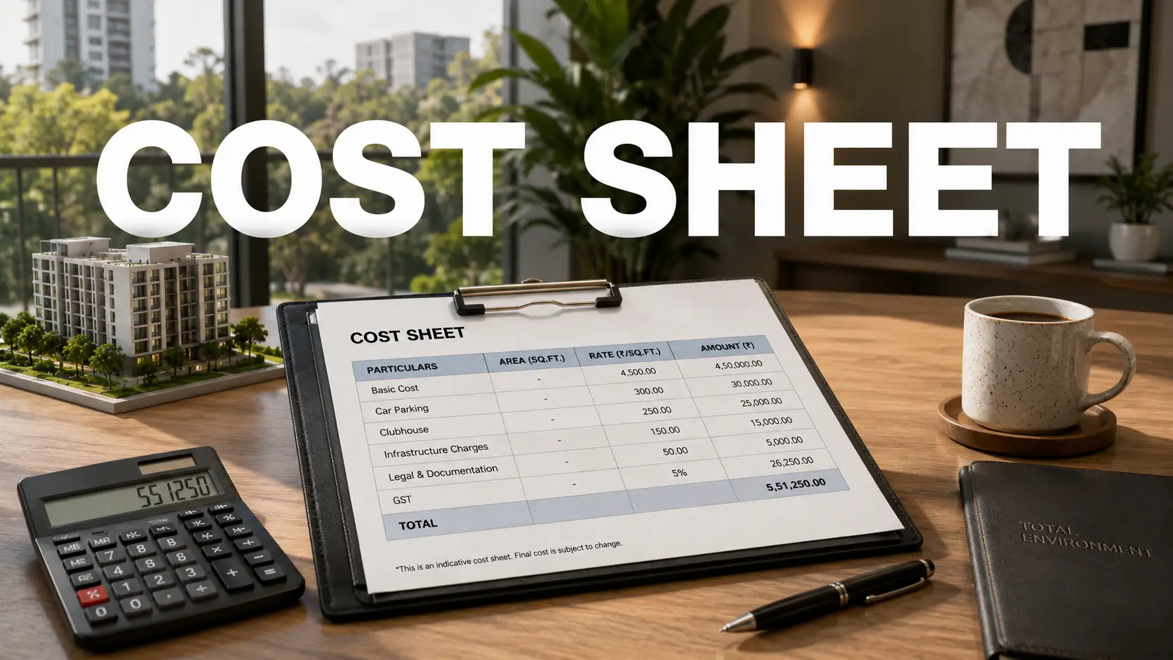
SOBHA OneWorld Cost Sheet: Full Price Breakdown Across All Configurations
SOBHA OneWorld cost sheet breakdown: BSP per sq ft Hoskote, 2 BHK price East Bangalore, all-inclusive cost township apartment across all configurations.

SOBHA OneWorld RERA Status: What Buyers Should Know
SOBHA OneWorld RERA approval status: registration awaited, RERA-pending pre-launch risk, RERA number Hoskote project, Karnataka RERA check guide.